Culture · 2026-10-21
Trang An’s boat valleys now sit inside a 9,663-hectare plan
On 21 April the government approved a conservation master plan for the Trang An–Tam Coc–Bich Dong landscape, 9,663 hectares. It tells the province to control how many people the site can hold, and to keep the villages and festivals named in the decision.
Decision 705/QĐ-TTg, 21 April 2026.
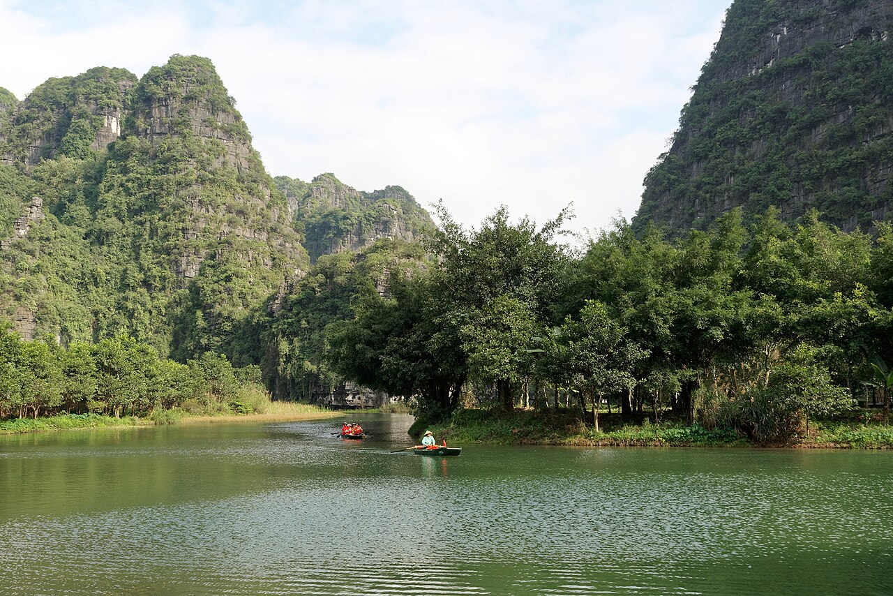
The view from a Trang An boat is now also a planning line on a map. On 21 April 2026, Deputy Prime Minister Phạm Thị Thanh Trà signed Decision 705/QĐ-TTg, the conservation master plan for the Trang An–Tam Coc–Bich Dong special national landscape, which sits inside the Trang An World Heritage complex. The Ministry of Agriculture and Environment’s notice of 23 April puts the area at 9,663 hectares. The aim it states is to keep the outstanding universal value, meet Vietnam’s commitments to UNESCO, and still let the place work as a destination for Ninh Binh and the northern delta.
The rules that matter on the water are about limits. The plan says preservation has to sit beside a heritage economy, and that managers must control carrying capacity, tourism, and construction. Natural areas are to be zoned and marked. Tourism zones are steered toward ecological, cultural, and rural visits, with buildings that fit the landscape. Farmland is not supposed to flip into a spontaneous town. The same notice names craft villages it wants kept and visited: Ninh Van for stone carving, Ninh Hai for lace, Gia Lac for wine, Ninh Xuan for flowers and ornamental plants. It also names festivals to keep, among them the water procession at the Hoa Lu festival, the festivals of Kha Luong, Hanh Cung, Tran Temple at Noi Lam, Thai Vi Temple, and Bai Dinh, and the Shennong offering.
Nothing in that April notice is a ticket price or a boat clock for this week. Check on arrival for both. The photograph is the valley the plan covers, taken in 2024.