Tuy Hoa
Basalt columns at Ganh Da Dia meet the sea north of Tuy Hoa, and Mui Dien to the south is the easternmost point of the mainland. Swim the white sand on Doc Lap under the casuarinas, climb Nhan Tower above the Da Rang, and eat chive noodle soup and ocean tuna. One day on the beach, with the columns as the trip north.
●●●●○ The night on the Độc Lập beach is the reason to stop.
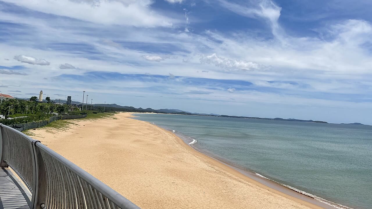
Photo: Baoothersks · CC BY-SA 4.0
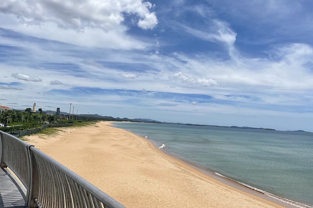
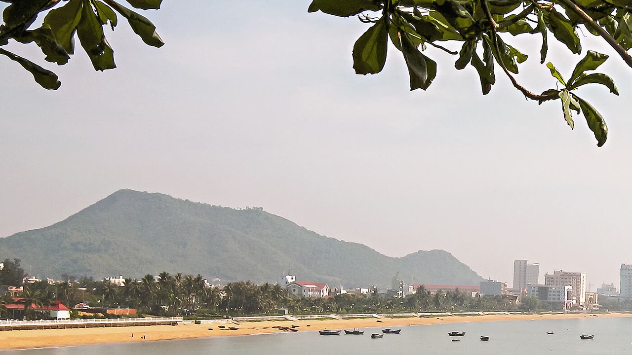
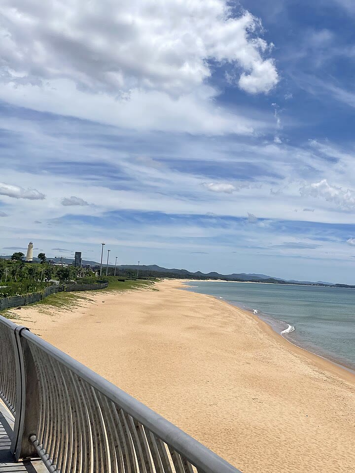
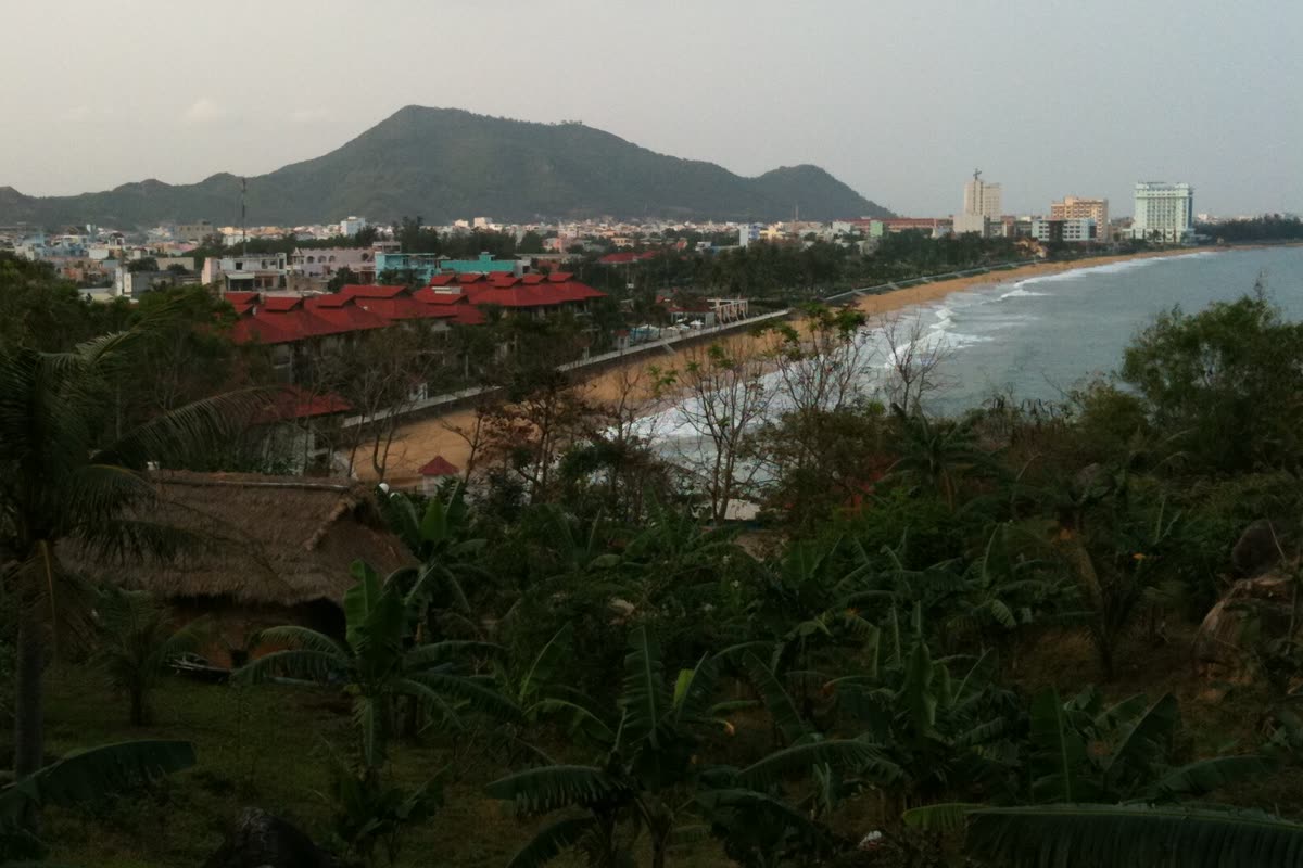
Ghềnh Đá Đĩa, which locals call gành Đá Dĩa, is the basalt where it meets the sea north of town, and the city beach on Độc Lập is the swim you wake to: white sand tens of metres wide, casuarina behind it, and beachfront buildings along the road. One account gives a front longer than 10 km. Another gives about 10 km, sea on one side and the town lights on the other. Both lengths stay. Swim here and eat seafood on the shore. Stay when this front is the trip. Go to Quy Nhon, about 90 km up the coast, when the next city is the trip, or on to Nha Trang when the island boats are.
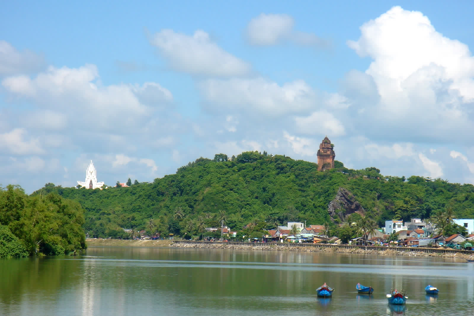
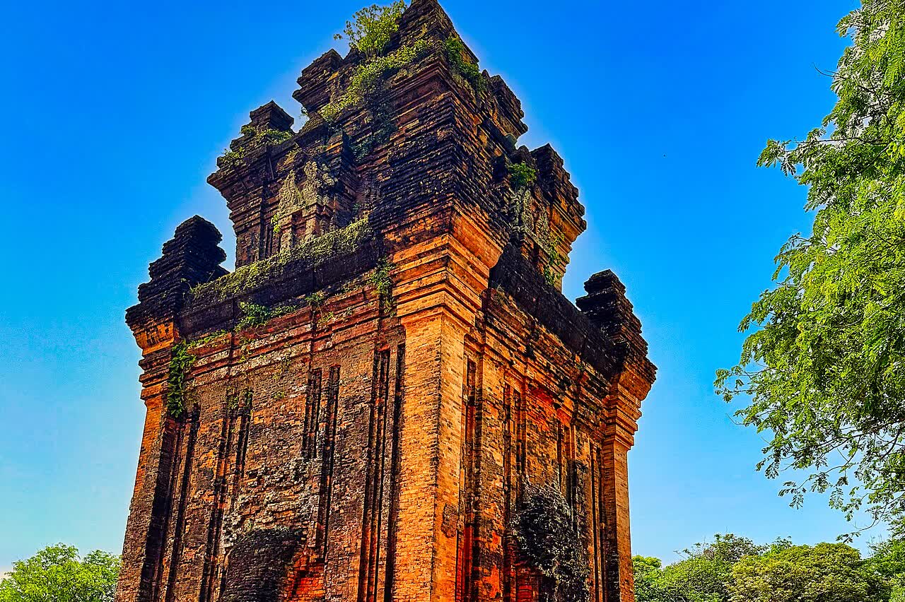
Give a morning to Tháp Nhạn, the brick tower on Núi Nhạn, on the north bank of the Đà Rằng. The bureau dates it to the late 11th or early 12th century: four storeys, nearly 23,5 m, each side of the foot 10 m, a door to the east, and a lotus-bud stone. The heritage page gives a different measurement: a base 12,2 m by 12,2 m, a body about 9 m by 9 m, and the base and body together 12,4 m, in a yard 38 m by 38 m. Do not quote one height. The hill is about 60 m on the heritage page and the handbook, and 64 m on the English tourism page. Both stay. The bureau describes a small shrine and no statue. The heritage page says the worship is Poh Nagar, the east door had collapsed, and the present door is 2,4 m high. Ranked a national architectural relic on 16 November 1988. Ranked a special national relic by Quyết định 1820/QĐ-TTg on 24 December 2018. Saturday at 19:30 the English page puts a show in the yard, named “Phu Yen – the attractive and friendly destination.”
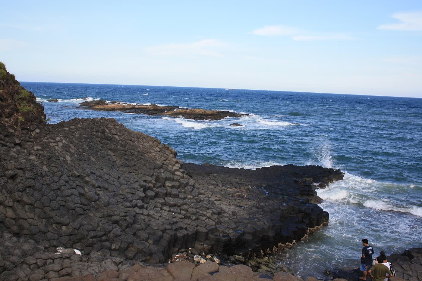
The stone plates and the cape are day trips from this bed. Ghềnh Đá Đĩa, which locals call gành Đá Dĩa, is the basalt where it meets the sea. The tourism bureau places it at xã An Ninh Đông, huyện Tuy An, Phú Yên, more than 50 m wide and about 200 m long, and ranks it a national landscape in 1998. A news account gives 50 m wide and more than 2.000 m long, and a national ranking in 2005. A later account places the same rocks at xã Tuy An Đông, tỉnh Đắk Lắk, old name An Ninh Đông, with a main area of about 2.700 m², a tilted north point and a mostly vertical south point, a 1997 national ranking, and a 2020 special-national ranking. All three size lines stay. All three ranking years stay. The routes stay too: about 30 km on QL1A to Chí Thạnh then about 12 km east; about 35 km from the center; about 40 km north via Tuy An Bắc and nhà thờ Mằng Lăng.
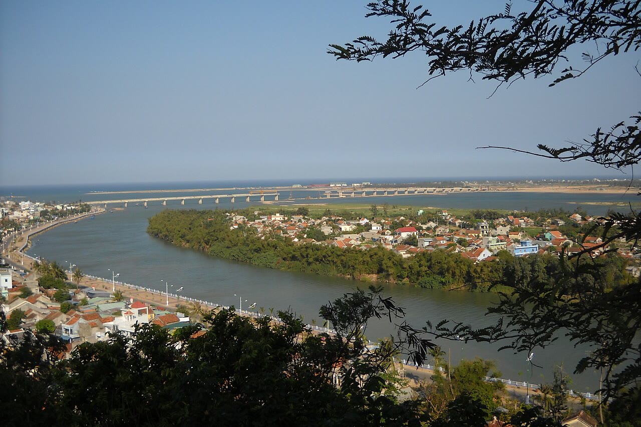
Bãi Môn–Mũi Đại Lãnh, also Mũi Điện, is the cape to the south. The tourism bureau gives a crescent of about 400 m. The old district page gives more than 400 m. The light is a pair of descriptions. The bureau: about 26 m, about 108 wooden steps, 27 hải lý, built in 1890, repaired from August 1996, working in 1997. The district page: 25,6 m, diameter 4,5 m, 107 steps, main light 28 hải lý at 110 m, a second light 18 hải lý at 92 m, built in the early 1920s, rebuilt from 1995, working in 1997. The district page calls it the easternmost point of the mainland and the first sunrise. The handbook gives a visit fee of about 10.000 đồng a person. The river under the hill is the Đà Rằng, which the bureau also calls sông Ba. Cầu Đà Rằng has 21 spans and is called the longest bridge in central Vietnam on that page.
Common questions
- Where is the Tuy Hoa beach?
- Bãi biển Tuy Hòa is the sand east of this city along Độc Lập. One account gives a front longer than 10 km. The night account gives about 10 km. Both lengths stay.
- How far is Tuy Hoa airport from the city?
- The 2024 AIP gives 5 km north of the city center. The provincial handbook gives about 10 km. Both stay. The AIP hours are 2300–1400 and are not converted here.
- Which train time to Tuy Hoa should I use?
- The unified table and a second railways page do not match. On the unified table, southbound SE7 reaches Tuy Hòa at 06:34 the next day. The second page prints SE7 at 06.59. Northbound, the unified table’s SE8 is 16:10 and the second page prints 15.51. Do not pick one. Neither table prints a fare. The handbook prints 400.000–1.000.000 đồng by seat and origin. The full cells are in Getting there.
Top attractions in Tuy Hoa
1 Ganh Da Dia Ghềnh Đá Đĩa
Walk the basalt columns where they meet the sea, north of Tuy Hoa.
 2
Nhan Tower Tháp Nhạn
Climb Núi Nhạn for the brick tower on the north bank of the Đà Rằng.
 3
Tuy Hoa beach Bãi biển Tuy Hòa
Swim and walk the city beach along Độc Lập, east of town.
 4
Da Rang river Sông Đà Rằng
The city sits at the mouth of the Đà Rằng, which the bureau also calls sông Ba.
 5
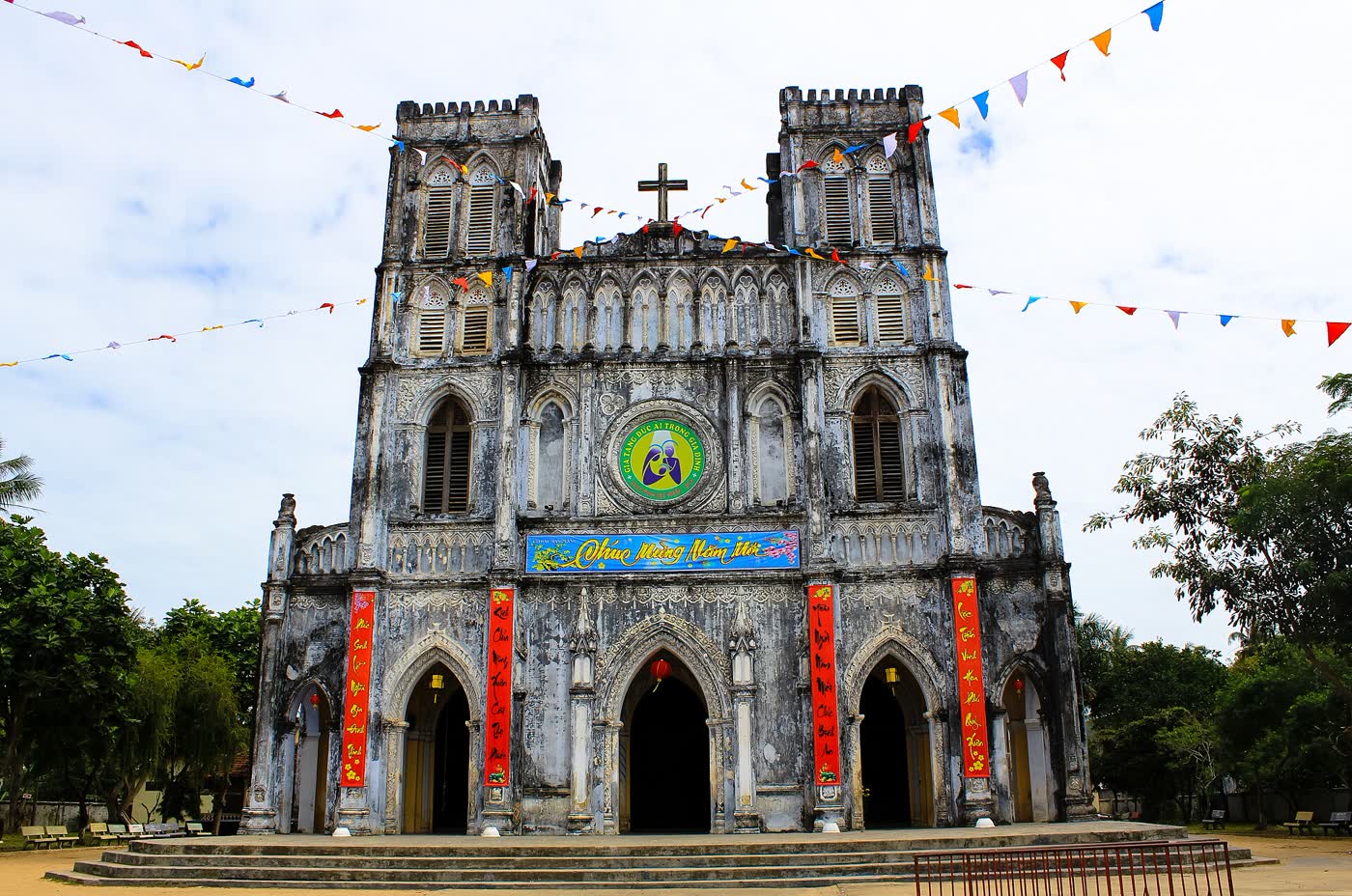
Mang Lang church Nhà thờ Mằng Lăng
See the church on the Kỳ Lộ that keeps the first Vietnamese book in chữ Quốc ngữ.
Events
Fish wishing festival Lễ hội cầu ngư
The fish-wishing festival runs from the first lunar month through the sixth, in coastal and lagoon villages…
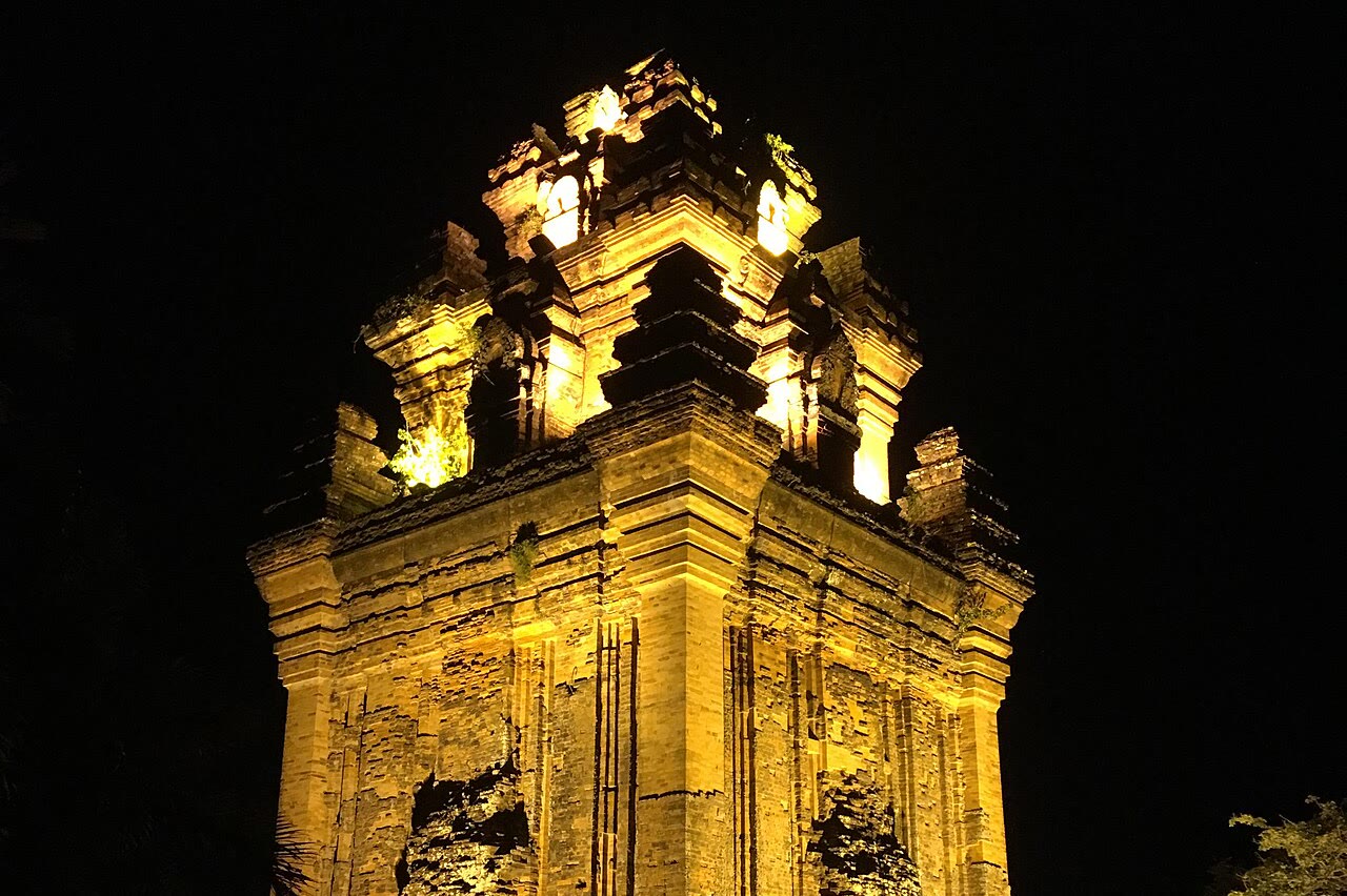
First full-moon poetry Hội thơ Nguyên Tiêu
The poetry gathering is in the tower yard.
O Loan boat race Lễ hội đua thuyền đầm Ô Loan
The rite starts on the 6th of the first lunar month at the village đình and Lăng Ông.
Saturday show at the tower Đêm thứ Bảy sân Tháp Nhạn
Every Saturday at 19:30 the English tourism page puts a show in the Tháp Nhạn yard, named “Phu Yen – the at…
Lady's day at the tower Lễ Vía Bà
Lễ Vía Bà at Tháp Nhạn runs from the 20th through the 23rd of the third lunar month.
Side trips from Tuy Hoa
Tuy Hoa by interest
Getting there and around
Cảng hàng không Tuy Hòa is the airport. The 2024 AIP, VVTH, prints 5 km north of the city center, operating hours 2300–1400, not converted, and the telephone +84 257 3851950. The handbook prints about 10 km from the center. Both distances stay. The operator page prints the office at Đại lộ Hùng Vương, phường Phú Yên, tỉnh Đắk Lắk, phone 02573851950. The handbook names Vietnam Airlines, Bamboo Airways, and VietJet Air from Hà Nội and TP Hồ Chí Minh, and a round-trip range of 1,5–5 triệu đồng. That range is not an airport tax. Flight minutes were not printed. Check on arrival.
Ga Tuy Hòa is on the unified rail table. Southbound the row is km 1198. Northbound the row is km 528. A street number was not on that table. Check on arrival. Southbound cells are all ngày +1. Diêu Trì to Tuy Hòa: SE7 04:12 then 06:34, SE5 06:02 then 08:12, SE9 12:29 then 14:19, SE3 16:54 then 19:08, SE1 18:50 then 20:38. Tuy Hòa to Nha Trang: SE7 06:34 then 08:47, SE5 08:12 then 10:25, SE9 14:19 then 17:03, SE3 19:08 then 21:12, SE1 20:38 then 22:42. Northbound, Nha Trang to Tuy Hòa: SE8 14:03 then 16:10, SE6 16:13 then 18:32, SE4 02:47 (ngày +1) then 04:55 (ngày +1), SE2 03:51 (ngày +1) then 05:57 (ngày +1). SE10 has no Tuy Hòa cell. Tuy Hòa to Diêu Trì: SE8 16:10 then 18:07, SE6 18:32 then 20:39, SE4 04:55 (ngày +1) then 06:51 (ngày +1), SE2 05:57 (ngày +1) then 08:02 (ngày +1). A second railways page prints different Tuy Hòa cells: southbound SE3 19.00, SE1 19.35, SE5 09.11, SE7 06.59; northbound SE4 04.57, SE2 05.55, SE6 18.24, SE8 15.51. Both sets stay. Do not pick one. Neither table prints a fare. The handbook prints 400.000–1.000.000 đồng by seat and origin.
QL1A is the coast road. Quy Nhon is about 90 km on the handbook. The minutes were not printed. From Hà Nội the bureau prints 1.177 km and the handbook prints about 1.200 km. From TP Hồ Chí Minh the bureau prints 561 km and the handbook prints about 500 km. A city-to-city kilometre for Nha Trang was not printed. About 100 km on the cape page is from Nha Trang to mid Đèo Cả, not to this city. A sleeper from Bến xe Miền Đông at 17h or 18h arrives early the next morning. The return fare on that page is 540.000 đồng a person. The Tuy Hòa bus-station name was not printed. A taxi fare was not printed. Kilometres and minutes to Buôn Ma Thuột were not printed. Check on arrival. On site, the swim is the east beach along Độc Lập. The tower is about 1,5 km from cửa Đà Diễn. Minutes from the beach to the hill were not printed. North to the plates: about 30 km on QL1A to Chí Thạnh then about 12 km east, or about 35 km from the center, or about 40 km north via Tuy An Bắc and nhà thờ Mằng Lăng. South to the cape: about 35 km southeast, and also 23 km on QL1A to mid Đèo Cả plus about 12 km. The old district page prints 35 km south, and 15 km to the old Đông Hòa center then 20 km, then a path of about 500 m.
Tuy Hoa itineraries
Hotels
- Doc Lap Beach rooms
Sleep on the beachfront along Độc Lập when the sand is the point. The handbook says the city still has few high-end resorts. A brand is not a pick.
Search stays - The river and April First square Center rooms
Sleep in the center by the Đà Rằng and Quảng trường 1/4 when the evening is the square. A street number for the square was not printed. No hotel brand is a pick.
Search stays
Tours & Attractions
Restaurants
What to order is on the food guide.
Southeast Asia TravelGuide Network
Compare Across Southeast Asia: Vietnam vs. Thailand
Most Vietnam trips can add Bangkok for the city night and Phuket for an Andaman beach week.
Capital
Bangkok
- Royal temples and river hotels
- Thonglor and Charoenkrung after dark
- The usual air gate for a two-country trip
Andaman coast
Phuket
- West-coast beaches and beach clubs
- Amanpuri and Kamala
- A beach week after the Vietnam cities